HCMC invests in four satellite urban areas
- Finance ministry proposes tax on real estate, cars
- Foreign real estate developers return as crisis is over
- M&A in real estate sector to increase in 2018
Assessing the land-use situation in the period of 2011-2015, Director of the Municipal Natural Resources and Environment Department Nguyen Toan Thang said that, over the past time, the land-use plan of the city had timely met the demand of land for development and exploited its potentials, as well as brought revenues for the city to invest in infrastructure projects.
However, he stated that several objectives have not still been reached due to limited efficiency and lack of feasible solutions in land use as well as environmental protection. Insufficient investment and slow site-clearance for projects were among the city’s major land-use problems.
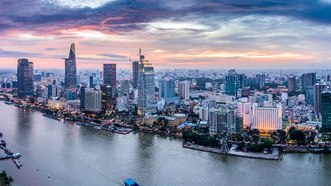 |
| Photo for illustration. Source: Internet. |
Regarding the city’s adjusted land-use master plan, the city’s agricultural land will be adjusted down to 88,005 hectares compared with the 118,000 hectares in 2010 while non-agricultural land will increase to nearly 188,890 hectares, 1,080 hectares more than the national target.
Of the non-agricultural land, the land used for infrastructure development in the city is estimated to total 34,912 hectares, an increase of 15,233 hectares in comparison with 2015, and land for residential purposes in the urban area will be 1,250 hectares.
He also said that in order to well implement the master plan to 2020, the city should also prioritise investment in four satellite urban areas.
In the east, the satellite urban area covering 280 hectares will be located in Long Truong ward of District 9 next to the Ho Chi Minh City - Long Thanh – Dau Giay expressway. In the west, the satellite urban area of 200 hectares will be in Tan Kien commune in Binh Chanh district next to National Highway No 1.
In the south, the satellite town with an area of 110 hectares will be the A zone of the South Sai Gon Urban Area and Nguyen Huu Tho road. And in the north, the satellite town with an area of 500 hectares will be the North-West Urban Area near National Road 22.
Additionally, to limit the traffic flow to the downtown area, the city will also invest in transportation to connect residential areas and the metro system, now under construction; and public welfare works like schools, hospitals and entertainment facilities.
“The adjusted land-use master plan has updated many standards in urgent fields, especially for climate change, which has become more serious in Ho Chi Minh City,” said Hoang Tung, deputy director of the municipal Master Plan and Architecture Department. He also added that during the period 2020 – 2025, half of the land in Ho Chi Minh City will be used for urbanisation.