PM Inspects Impacts of Climate Change in Mekong Delta From the Air
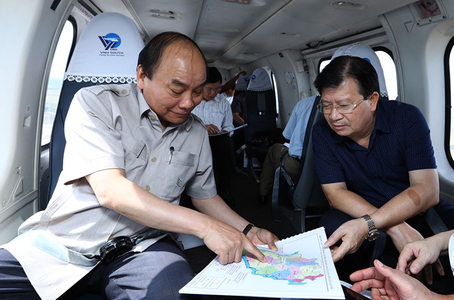
PSNews- Prime Minister Nguyen Xuan Phuc inspected the Mekong Delta from the air on September 26.
 |
| Prime Minister Nguyen Xuan Phuc |
A helicopter carrying Prime Minister Nguyen Xuan Phuc and several other members of the governments took off from Can Tho airport and flew the mission from Can Tho city - the “capital” of the Mekong Delta, along the coastal area, to the Ca Mau Cape on a fact-finding tour around the Mekong Delta from the air.
The Prime Minister and his aides went on the tour to collect information and grasp the real situation of the region for the Conference on Sustainable and Climate-Resilient Development of the Mekong Delta on September 27.
The conference was organized on the largest-ever scale to call for ideas and initiatives to help the Government and localities in the Mekong Delta work out strategic solutions to a large-scale economic transformation to promote sustainable development in the Mekong Delta with a vision to 2100.
The two-hour inspection was expected to offer the PM a clear insight into real serious impacts of climate change in the Mekong Delta, rather than figures in reports from ministries or organizations.
PM Nguyen Xuan Phuc also surveyed the real regional planning in comparison to hydroelectric and sea dyke projects in some deltas and coastal areas of the Netherlands, a typical country succeeding in responding and adapting to climate change during his visit to the country two months ago.
During the visit, PM Nguyen Xuan Phuc asked the Dutch Government to choose the Mekong Delta to build an economic transformation model for sustainable development with the application of high-end technology and native knowledge.
According to many reports, the Mekong Delta is considered one of the four deltas most affected by climate change and sea level rise.
Through the monitoring of relevant agencies, there are 550 landslide sites with a total length of over 775 km in the Mekong Delta region. In recent times, the rate of coastal erosion in the Mekong Delta has been deteriorating. Since 2005, the erosion rate has exceeded the accretion rate, making Vietnam’s Mekong Delta shrink about 300 hectares per year.
Any rise of about 100 cm of the sea level will affect 38.9% of Vietnam’s Mekong Delta land. The two hardest hit provinces will be Hau Giang and Kien Giang with their affected areas of land of 80.62% and 76.9%, respectively.
The Mekong Delta with 13 provinces and cities covers an area of about 3.9 million hectares, accounting for 12.3% of the country's natural area, and home to 19% of the population. This is also the largest economic region second to the Red River Delta in terms of area and population.