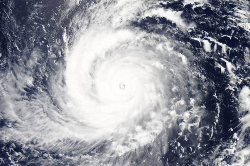
Tropical depression or storm likely to emerge in East Sea in mid-July
Disturbances are likely to occur on the tropical convergence belt between July 15 and July 20, with this forecast to develop into a tropical depression or storm over the East Sea, according to details given by the National Center for Hydro-meteorological Forecasting.

Forecasters stated that localities from Thanh Hoa to Da Nang, Phu Yen and Thua Thien Hue are all expected to experience intense heat from July 12 to July 13 with temperatures ranging between 35 and 39 degrees Celsius.
Furthermore, the tropical convergence zone in the East Sea tends to be more active from July 12 to August 10, which is anticipated to cause bad weather, such as thunderstorms, tornadoes, and high sea waves
Meteorologists therefore predict that there will be between two and three tropical depressions or storms operating in the East Sea ahead in the second half of July and early August.
Mai Van Khiem, director of the National Center for Hydro-meteorological Forecasting, said due to the impact of the El Nino phenomenon this year, the country will experience a summer with higher temperatures than normal, adding that fewer storms and tropical depressions will operate in the East Sea compared to the average seen in previous years.
However, forecasters have warned about the possibility of anomalous trajectories of tropical depressions or storms moving forward due to the El Nino conditions.

